Updated:
14-Jul-2026 2:05pm @
|
 |
The station is located Lat: 33° 39´ 11´´ N | |||||||||
| Time of Next Full Update: 2:10 pm - Station Elev: 1469 ft | ||
Weather Links: |
|
 New Feature New Feature |
Celebrating
|

Member of the:

|
| |
|
|
|
|
|
|

|
|
For more information |
|
 |
|
Return to Top |
|
Welcome to the Weather Photos Page |
Enjoy These Weather Photos Click on picture for full Size View!
|


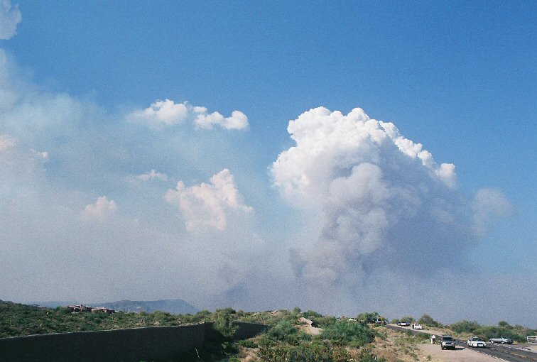


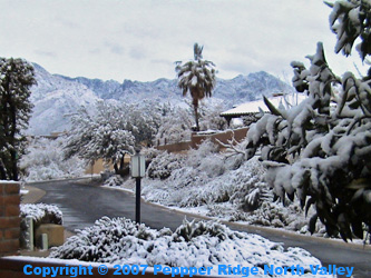
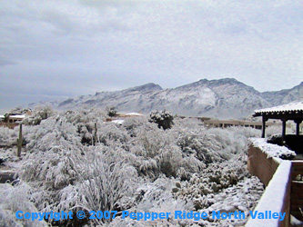
Current Photos on Display are of the Cave Creek Complex Fire in June 2005, with the exception of the bottom four Photograghs Which are of Summer Monsoon Thunder Storms. And the rare Snow Fall event of Jan 2007
All Photos are © 2005- 2015 by J. Summers & The Pepper Ridge North Valley Weather Station |
Member of the: |
|
Page layout last updated on Feb 1st, 2008
Copyright © 2005 - 2026, Pepper Ridge North Valley Weather - All rights reserved .
Unauthorized duplication or distribution is prohibited
Powered By: |
Weather Display vers: 10.37S build: 134 &
WeatherLink 5.71 |
Site Template Designed by: Pali Plumies Designs
Disclaimer:
Never base important decisions on this or any weather information obtained from the Internet.
Number of Visitors Since March 15, 2005