Updated:
14-Jul-2026 1:05pm @
|
 |
The station is located Lat: 33° 39´ 11´´ N | |||||||||
| Time of Next Full Update: 1:10 pm - Station Elev: 1469 ft | ||
Weather Links: |
|
 New Feature New Feature |
Celebrating
|

Member of the:

Current NWS Alerts:
|
| |
|
|
|
|
|
|

|
|
For more information |
|
 |
|
Return to Top |
|
Welcome to the Radar/Satellite Page | |||||
Doppler Radar Images of ArizonaPhoenix Doppler Radar
Tucson Doppler Radar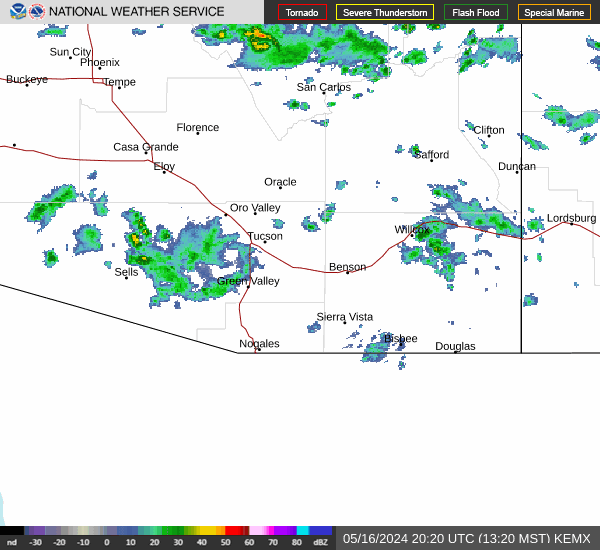
Additionial Local Radar Image of Phoenix
|
|||||
|
| |||||
|
| Satellite Band | Satellite View |
Image Number |
AutoRefresh |
AutoRefresh Interval |
Script by SELincoln Weather and Saratoga-Weather.Org
Used the Tabs above the Animated Satellite Images to Select the Satellite Band and Satellite View
Note: The Visible Satellite Bands are only visible during the daylight hours otherwise they will appear black at night.
Additional Satellite maps can be found at the following links:
N.O.A.A. Goes 16 Satellite Imagery
N.O.A.A. Goes 17 Satellite Imagery
N.O.A.A. Goes 19 Satellite Imagery
N.O.A.A. Satellite Imagery
Univ of Arizona Satellite Imagery
Member of the:
|
|
Page layout last updated on Feb 9th, 2009
Copyright © 2005 - 2026, Pepper Ridge North Valley Weather - All rights reserved .
Unauthorized duplication or distribution is prohibited
Powered By: |
Weather Display vers: 10.37S build: 134 &
WeatherLink 5.71 |
Site Template Designed by: Pali Plumies Designs
Disclaimer:
Never base important decisions on this or any weather information obtained from the Internet.
Number of Visitors Since March 15, 2005